Cycling Tuttlingen to Ulm, Germany: A Soggy Bike Ride Past Castles on Cliffs
20 - 23 August 2019
Tuttlingen to Sigmaringen (20 August 2019, 57 km, 35.4 mi)
It was forecast to be another rainy day, but we had cabin fever and wanted to get back on the road. Our hotel room in Tuttlingen was small and not that comfortable, so two days there was plenty. We loaded up the bikes under a cloudy, steel-gray sky. As soon as we mounted our bikes to ride away, it started to drizzle.
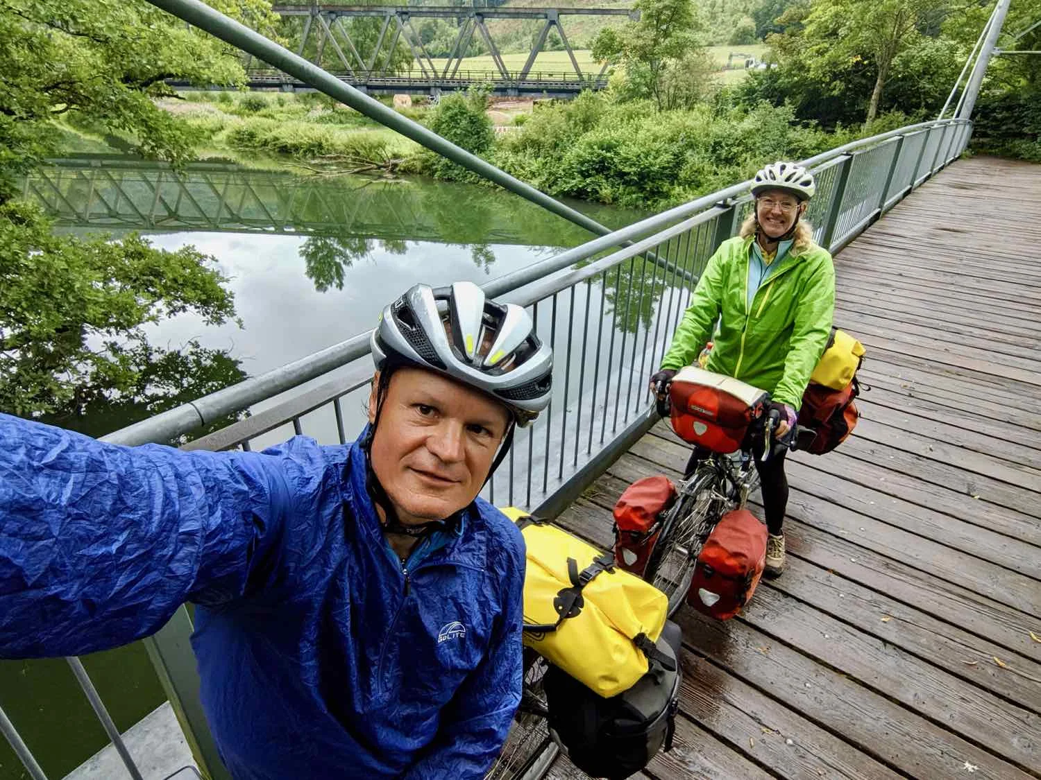
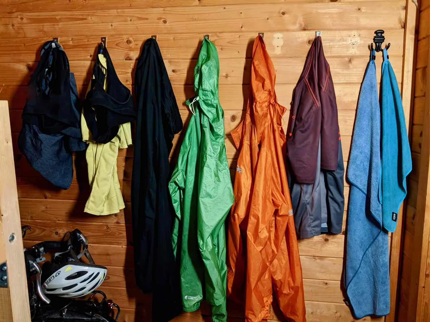
It turned out to be the rainiest day that we’ve experience so far. Easily. Rain came down steadily almost all day, with the exception of a short break in the mid-afternoon. Fortunately, our Ortlieb panniers are fully, and truly waterproof, so we don’t have to worry about our gear. But there’s not much you can do to keep yourself dry. Even with our raincoats, we got pretty soaked by the end of the day.
When we had arrived in Tuttlingen two days ago, we reached the shores of the Danube River. But today was our first day cycling along its banks. The river is relatively small, this far upstream. It was typically no more than about 20 m across. And it wasn’t blue (as per the most famous waltz ever, The Blue Danube). From most viewing angles, it appeared to be a deep, piney green color - reflecting the lush vegetation of the surrounding forest.
The Danube River at Tuttlingen, Germany, It’s going to get a lot bigger before we reach the Black Sea. Copyright © 2018-2019 Pedals and Puffins.
Biking through the valley, we were struck by the number of religious shrines along the route. Wherever there was a spring or a small stream coming out of the mountains, there would be a shrine with a statue of the Virgin Mary, a crucifix, or other religious symbols. You often hear about how people in Europe are becoming less religious, but you would not guess that by traveling along EuroVelo 6 in the upper Danube Valley. On the contrary, we got the feeling that the communities in this area are especially devout.
A discreet image of the Virgin Mary and Jesus graces one of the many shrines we passed along the route today. Fridingen an der Donau, Germany. Copyright © 2018-2019 Pedals and Puffins.
And no description of today’s route would be complete if we didn’t say something about the wood. Ever since we entered Switzerland and Germany, we’ve been seeing a lot more wood used in buildings and other structures like bridges. But the thing that really grabbed our attention was the very large piles of fire wood. There must be a lot of wood-burning fireplaces here. And the firewood is cut in very long pieces - about a meter in length, making us think that the fireplaces where they are used must be exceptionally wide.
Endless piles of split firewood. Fridingen an der Donau, Germany. Copyright © 2018-2019 Pedals and Puffins.
We biked all day through the Upper Danube Nature Park, an area of thickly-forested hills and scattered, small towns. Buchheim, Germany. Copyright © 2018-2019 Pedals and Puffins.
The villages we passed through had a more rugged and rustic air to them than the ones along the Rhine River.
The river wound its way through the Donautal Gorge, a narrow floodplain covered with sunflowers, cornfields and pastures. And both sides of the valley were flanked by the tall, rocky cliffs and ridges of the Shwabian Jura Mountains.
There was a section along the river where there were signs about the various fish that can be found in the Danube. We stopped to try and read some of them, but it wasn’t very easy, even with the help of a translation program. Anyway, we got the sense that there was a good deal of fish diversity in the river.
Another prominent feature along this stretch of the route was the presence of castles and forts built right along the top edges of the high cliffs. They were consistently set right on the edges of the cliffs, to provide a commanding view of the valley. This was striking, because we hadn’t seen anything quite like it in France - even when we rode through the cliff-lined valleys along the Doubs River. The castles all have a very different look, as well. The Germans use a lot of stucco (painted in the pale-yellow color favored by the Hapsburgs), with terra-cotta or glazed tile roofs. That’s a big contrast to the exposed stone blocks used by the French, topped with slate-gray roofs. The styles could hardly be more different.
Schloss Werenwag castle, perched on the cliff-edge above the Donautal Gorge. The castle is still inhabited by Prince Maximilian Joachim zu Fürstenberg, and isn’t open to the public. Beuron, Germany. Copyright © 2018-2019 Pedals and Puffins.
In the town of Beuron, across the street from a large, Benedictine Abbey, we came across another pilgrim’s shop associated with the Camino de Santiago (or St. Jackobsweg, here in Germany). We continue to be astonished with the reach of this pilgrimage. Santiago is around 3,000 km (1,850 mi) away from here, and walking there would take several months. We realized there’s probably a connection between The Weg and the plentiful shrines we’ve been seeing along the route. Many of the shrines are accompanied by resting benches, probably set there for pilgrims along the way.
The Pilgrim’s Bureau, an information shop for people walking to Santiago, Spain along St. Jakobsweg. Beuron, Germany. Copyright © 2018-2019 Pedals and Puffins.
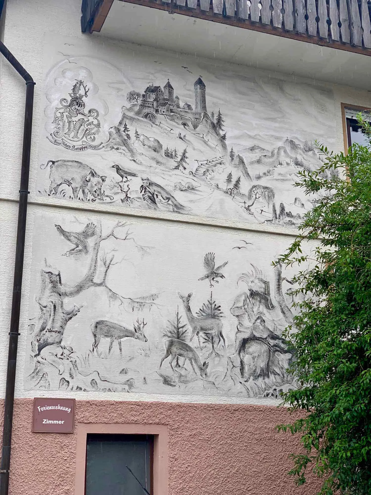
As the day wore on, the types of religious symbols that we saw along the route became more creative and varied.
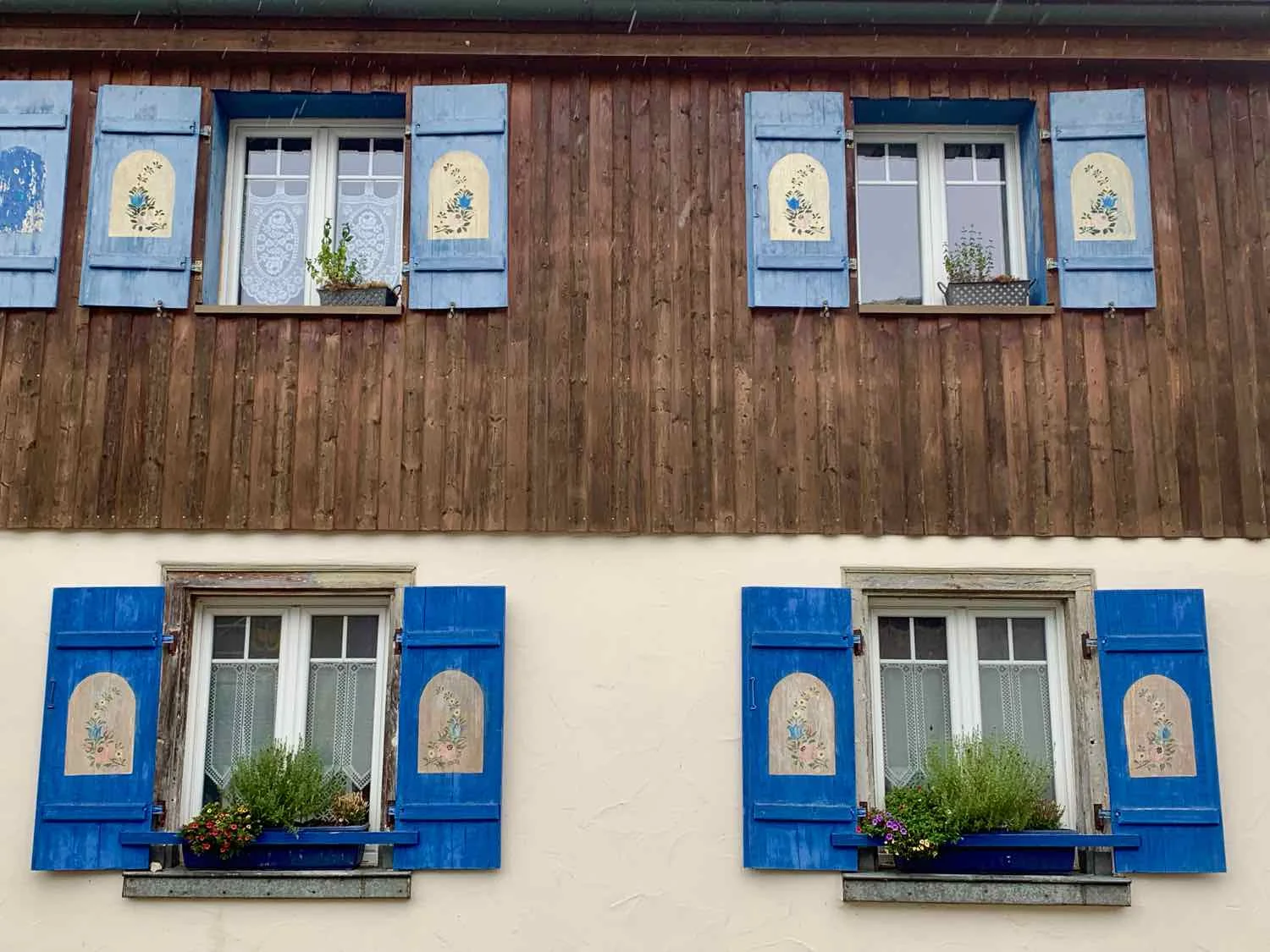
Of course, there were plenty of other works of art as well, including the continued prevalence of delicately-painted shutters on houses.
As we approached Sigmaringen, the rain was still coming down steadily, with no signs of letting up. We stopped under a stone bridge carved out of a piece of the mountain, to make sure we knew the directions to the campground, and spend a few minutes out of the rain. Out on the road, we really appreciate the little moments of luck, like finding shelter under a bridge.
A small, dry oasis along the wet road. Inzigkofen, Germany. Copyright © 2018-2019 Pedals and Puffins.
Arriving at the campground soggy from a day of steady rain, we were thrilled to learn that they had small cabins for rent. Yea! It was an easy decision to spring for a cabin, rather than having to set up our tent in the rain.
The entire cabin was only about 9 square meters, not much bigger than the two bunk beds that were in it. But there was a set of shelves where we could stack some of our stuff, there was room under the bunks for our panniers, and we even managed to squeeze our bikes inside, too. By far its best feature was that it was DRY. And we were very happy to be out of the rain.
Our itsy-bitsy cabin in Sigmaringen, Germany. Copyright © 2018-2019 Pedals and Puffins.
We decided to have dinner at the campground restaurant, to avoid having to walk too far. We both ordered the Weiner Schnitzel, with fries and salad. We didn’t really know what to expect, although you’d think we might have looked it up in advance. But we actually thought we would get a sausage. When the waitress delivered our meals to the table, we genuinely thought she had made a mistake with our order. Nope. Weiner Schnitzel is a thinly sliced piece of veal, breaded and fried. Now we know. It was very tasty, and we were glad to have the fresh salads on the side, too.
Sigmaringen to Munderkingen (21 August 2019, 60.8 km, 37.8 mi)
With the shutters shut, our little cabin stayed very dark this morning - contributing to the fact that we overslept, waking up around 8:15am. We had breakfast at the picnic tables outside the cabin, and ended up finally hitting the road at 9:45 am.
Heading out of town, we passed right by the foot of the Schloss Sigmaringen castle. For hundreds of years, this was the primary residence of a junior branch of the Hapsburg family. They still own it, but don’t live there anymore. It’s an impressively huge structure, rising out of the cliffs that line the Danube in this area.
One small section of the Schloss Sigmaringen castle, Germany. The whole castle is really huge. Copyright © 2018-2019 Pedals and Puffins.
Schloss Sigmaringen castle, rising right out of the cliffs along the Danube River. Germany. Copyright © 2018-2019 Pedals and Puffins.
We passed through lots of pretty, small towns today. Nearly all of them have some old, half-timbered buildings. And there’s always a church or town hall with a clock tower. The clocks in these towers have a very consistent design: the background is dark (often navy blue or a deep burgundy/rust color), and the hands and numbers are gold-plated. The towers themselves are always tall, white, and square. It’s very striking, and attractive.
Typical German clock tower. Mengen, Germany. Copyright © 2018-2019 Pedals and Puffins.
For the first 15 km or so, we were still in the narrow valley of the Shwabian Jura mountains. But when we passed the city of Mengen, things opened up, and we were riding through flat, agricultural land. We thought the ride from there would be quick and easy, but we ended up riding into a stiff, 15 mph headwind. That slowed us down quite a bit.
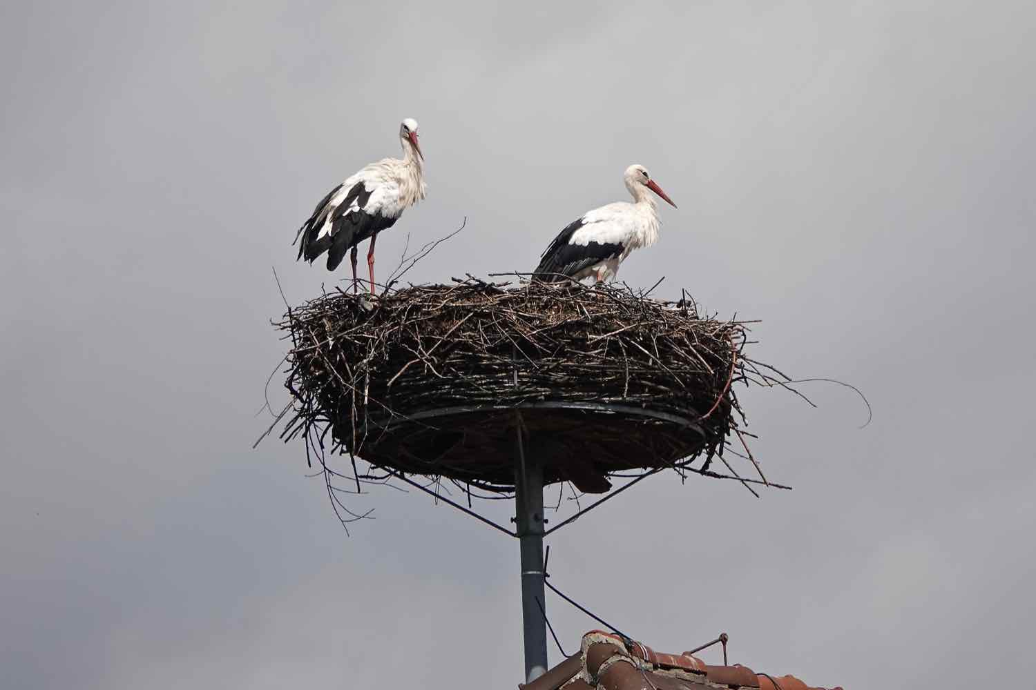
Much to our delight, we saw a lot of wildlife in the farm fields. There were numerous Eurasian Kestrels hovering, swooping around, and hunting in the open areas. We also saw a couple of late-season storks still presiding over a nest. But our biggest thrill came from watching a stoat (a.k.a., ermine) hunting in a field of grass. His home base was a small clump of shrubby trees out in the field. From there, he would wait, watch, and listen for prey out in the field. And every so often, he’d bound off into the grass, chasing a potential meal. We watched and photographed him for quite a while.
When we reached the town of Zell at about 40 km, the cycling got really hilly. The hills weren’t too high, but many of them were quite steep. There was even one that we ended up walking up - it reminded us of some of those near-vertical hills in the North Yorkshire Moors in England.
A friendly fish out of water. He was perched at the top of a steep hill in Datthausen, Germany. Copyright © 2018-2019 Pedals and Puffins.
We finally arrived in Munderkingen around 4pm. The municipal campground here is a very low-key affair. There is a WC/shower building with one shower and one toilet each for the men and women. Aside from a couple of picnic tables, and trash bins - that’s it. The rest is a big, mowed lawn where cyclists can pitch their tent, anywhere. There aren’t any staff on site. Someone comes by in the morning to collect the fees.
When we first arrived, we weren’t quite sure about the place, or whether staying here was a good idea. There wasn’t anyone else to be seen, and it felt deserted. But within a few minutes another cyclist, a German who spoke great English, rode up. He was also unsure about the place. But he was able to call a phone number that was posted on the wall of the shower building, and confirm we were in the right place. We all decided to stay.
After pitching our tent and showering, we went shopping for dinner. It ended up being a pretty inefficient shopping trip. Germany is the birthplace of discount grocers like Lidl and Aldi, and those were the kinds of stores nearby. But if you’re familiar with these brands, you know that what they have in stock can be hit or miss. We went to four, different discount grocers in an effort to find all the things we wanted. It was especially hard to find a store with the right kinds of cold drinks. One, regular supermarket would have been much more efficient for us.
We finally headed back to camp, and had a delicious, freshly-made salad. Over dinner, we had the chance to talk with a couple from Germany who had arrived while we were gone. They were from a town on the Iller River, one of the major tributaries that joins the Danube at Ulm. They were on their final few days of a 3,000 km bike ride, that had taken them in a loop up to the North Sea, back south to the upper Danube, and then home again. We also learned that years ago they had completed two major rides in the U.S. - one on the Southern Tier Route, and another from Las Vegas up to Glacier National Park, and then over to the coast of Washington State. They teased us about not having wine or beer with dinner. And we shared stories about visiting the national office of the American Cycling Association headquarters in Missoula, MT. It’s moments like this that remind us how interconnected the world is, especially within the cycling community.
By the time we finished dinner and washed up, it was nearly 8pm. We set up our camp chairs to have our drinks in the setting sun. But the night got cold quickly, and it wasn’t long before we packed up and went inside the tent to stay warm.
By the time we went to bed, there were five other tents at the campground, all inhabited by cyclists.
Munderkingen to Ulm (22 August 2019, 49 km, 30.5 mi)
Today we had breakfast at a lovely bakery on the main square in Ehingen. It was a little after 8am, and it felt like the town was just waking up. Folks were heading to the bakery to buy bread/breakfast, or opening their shops on the square.
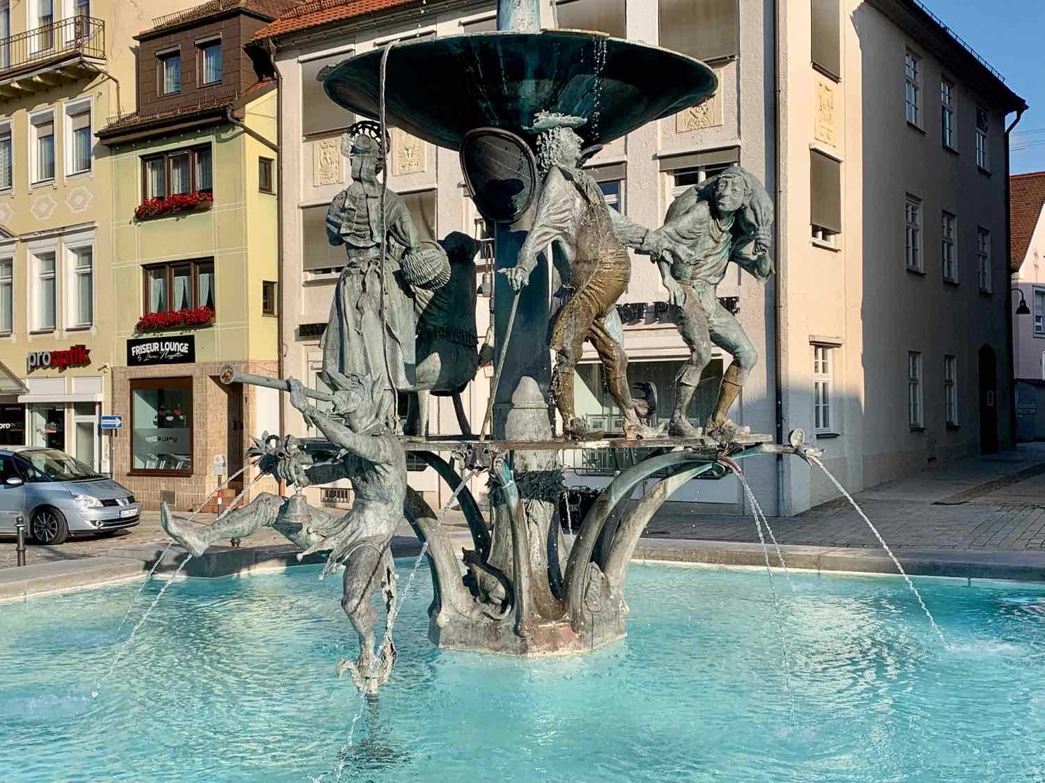
We continue to see a lot of religious symbols. Many of the benches along the route, set there for travelers to rest, are next to a cross or other religious icon. In Ehingen, the fountain in the central square had a strong moral message with a stern-looking bishop staring down on statues of rich folks giving charity to the poor, and a lower level made up of revelers, who were probably being scolded for their rowdy behavior.
Central square, Ehingen, Germany. Copyright © 2018-2019 Pedals and Puffins.
This is something we haven’t seen in any other town: a cattle ramp. We thought the image on the gate was especially charming. Ersingen, Germany. Copyright © 2018-2019 Pedals and Puffins.
We’ve been seeing these signs quite a bit, all along the route. The Germans like to string words together, and this is a great example. It says, “Landscape Conservation Area.” A very similar sign, decorated with the same eagle, also proclaims some areas to be “Naturschutzgebiet,” or nature reserves. Ulm, Germany. Copyright © 2018-2019 Pedals and Puffins.
Approaching Ulm, we could see the famous church steeple - the tallest in the world - from more than 13 kilometers away (about 8 mi). It’s not on much of a hill, but the huge steeple is quite a bit taller than anything else on the surrounding lands. The church took a stunning 513 years to build, including a 200 year lapse in construction between the early 1600’s and 1817. The original design was a little bit shorter, but when the town realized that a slight adjustment could give them the tallest church spire in the world, they went for it.
The great spire of the Ulm Münster Cathedral. They don’t get any taller than that. Ulm, Germany. Copyright © 2018-2019 Pedals and Puffins.
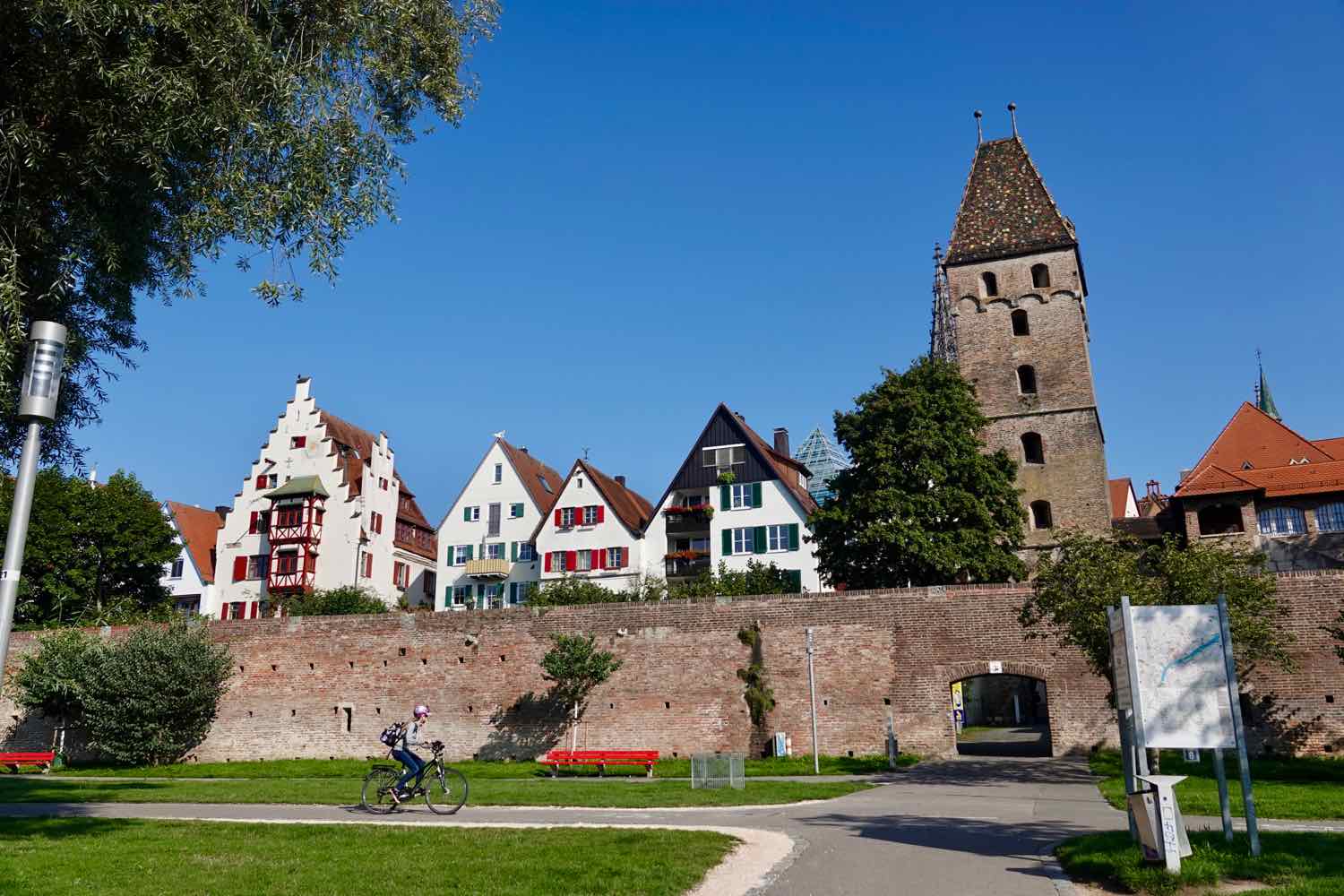
Several large tributaries joined the Danube along the route today. And by the time we reached Ulm, the river was starting to get seriously big. We are now at the edge of the Baden-Würtenburg region of Germany. On the other side of the Danube River is Bavaria. We’ll actually cross into Bavaria after we leave Ulm, about 5 km down the road.
We found a terrific hotel room in the center of town. It’s large, has air conditioning, and the wifi is super-fast. We’ve booked another night.
Ulm Rest Day (23 August 2019)
With an extra day in Ulm, we took the time to stroll around the old town and see some of the sights.
The sumptuously painted Ulm Rathaus (town hall). They used a similar approach to the one we saw on the pink town hall in Mulhouse, France. The facade of the building is relatively plain, but it’s painted to look as if it has ornate stonework, with other frescoes depicting virtues and vices. Ulm, Germany. Copyright © 2018-2019 Pedals and Puffins.
The ultra-modern public library (a glass pyramid) provides an interesting contrast to the renaissance design of the Ulm Rathaus. Ulm, Germany. Copyright © 2018-2019 Pedals and Puffins.
The most famous, leaning building in Ulm is the Hotel Schiefes Haus. A second-floor extension over the nearby river, built in 1433, destabilized the house and caused it to slump towards the river. Supposedly, it’s been fully braced, and is safe from further slumping. You can even stay in the house, which is now a hotel. But it still looks a bit shaky to me. Ulm, Germany. Copyright © 2018-2019 Pedals and Puffins.
A fun statue in the old pig market square, honoring the farmer and the butcher. Ulm, Germany. Copyright © 2018-2019 Pedals and Puffins.


