Prologue to the Western Wildlands: Cycling the Katy Trail, Mickelson Trail, and Glacier National Park
7-12 June 2021
7 June (43.3 mi, 69.7 km) - Katy Trail (St. Charles to Marthasville, MO)
8 June (38.7 mi, 62.3 km) - Katy Trail (Marthasville to St. Charles, MO)
11 June (38.0 mi, 61.1 km) - Mickelson Trail (Custer to Hill City, SD, and back)
12 June (29.3 mi, 47.2 km) - Mickelson Trail (Custer to Pringle, SD, and back)
16 June (16.0 mi, 25.7 km) - Going-to-the Sun Road (Glacier National Park, MT)
Every extended cycling trip begins with a dilemma: how will we get our bicycles and all of our gear to the start of the route? In this case, we had to figure out how to haul all of our stuff from home to the start of the Western Wildlands Route in Montana - practically crossing the entire continental USA.
Flying with bicycles comes with a whole host of obstacles, which are made even harder by the fact that we don’t own a car. Tasks include acquiring airline-approved boxes, getting the very large boxes home, disassembling our bikes to put them in the boxes, getting the packed boxes to the airport, somehow combining everything we need for many months of travel into a couple of check-on-sized pieces of luggage, risking damage to our bikes in the airline handling process, paying high fees for oversized luggage, reassembling the bikes in the destination city, and getting everything to the start of the route. It’s doable, but challenging.
In the end we decided to use a method that has worked well for us in the past. We would rent a vehicle big enough to hold the bikes and all of our gear, and drive it one-way to Montana. That way, we wouldn’t have to take the bikes apart for transport, and we could pack all of our biking gear so that it would be almost-trail-ready from the start. Usually this approach is relatively low stress, compared to flying.
But this is 2021, post-pandemic, and there is a massive rental car shortage. News headlines this spring screamed about how travelers were getting stranded or having to change their plans as rental car companies ran out of inventory. Even though we were able to reserve a minivan in advance, we ended up stressing out quite a bit about whether we would be able to get a vehicle big enough to load our bikes and gear - or even whether we’d be able to snag a rental vehicle at all. Just a couple weeks earlier we had made a reservation for a rental car only to find out when we arrived at the rental counter that they no longer had any cars available.
Fortunately, everything went according to plan. Our minivan was waiting for us in the rental lot on our day of departure. We even were able to transport the bicycles upright, by strategically using ROK straps (which we bought for tying stuff to our bikes on the trail) to lash the bikes to cargo hooks inside the van. It was a big relief. (Click on any image to enlarge.)
Packed and ready to roll. A rented minivan gave us enough space to transport our bikes upright (lashed in with ROK straps). We’ll return the van in Whitefish, Montana, at the start of the Western Wildlands Route. Copyright © 2019-2021 Pedals and Puffins.
Once we took a look at the driving route from home to Whitefish, Montana, we discovered another huge bonus to taking a car. The fastest route led us right past three of the most iconic cycling trails in the country: (1) the Katy Trail in Missouri, (2) the Mickelson Trail in South Dakota, and (3) the Going-to-the-Sun Road in Glacier National Park, Montana. What better way to break up the tedium of a long drive than to spend a few days sampling some of the most famous bicycle routes in America? There was never any question that we would incorporate these trails into our trip.
Katy Trail (Missouri)
We barely had to drive half a mile off our route in St. Charles, Missouri to reach a hotel that sits just a few meters from the Katy Trail. Over the next two days we cycled from St. Charles to Marthasville, Missouri, and back.
The popular Katy Trail, which runs 225 vehicle-free miles across Missouri, ran right through a town on our driving route. Of course we would stop and go for a ride. St. Charles, MO, USA. Copyright © 2019-2021 Pedals and Puffins.
The city of St. Charles sits very close to where the Missouri River empties into the Mississippi River, near the metropolis of St. Louis. As a result, the area is loaded with sites that featured in the westward journeys of early explorers - especially frontiersman Daniel Boone, and the dynamic duo of Lewis and Clark, who charted a path from the Mississippi to the Pacific Ocean with the help of Native Americans. Before heading down the trail, we visited a few of the nearby monuments commemorating their passage through the city.
Four explorers: Captain Meriwether Lewis, Lt. William Clark, their Newfoundland dog (Seaman), and PedalingGal. Ready for adventure. St. Charles, MO, USA. Copyright © 2019-2021 Pedals and Puffins.
The Katy Trail follows the Missouri River on an old grade for the Missouri-Kansas-Texas Railroad. (KT for short, get it?) Its impeccably groomed limestone surface, frequent and informative signage, and the warm embrace of the towns along the way helped the Katy Trail become one of the earliest inductees into the Rails-to-Trails Hall of Fame.
A bit of old railroad track harkens back to the Katy Trail’s heritage as part of a railroad corridor across the central USA. St. Charles, MO, USA. Copyright © 2019-2021 Pedals and Puffins.
Even with a late start in the morning we made great time, scooting along the trail’s smooth gravel. Lovely views of the Missouri River, agricultural fields, remnant prairies, and limestone bluffs made for a pleasant backdrop to the ride. We stopped frequently to read the information about towns and historical sites along the way. It was fun to see many familiar plants, flowers and birds that are similar to where we grew up in the Northeastern USA.
Catching up on the local history. Every trailhead on the Katy Trail hosts a high-quality rest stop with information about towns and other sights in the area, as well as shaded benches. Some even have bike tool stands and restrooms. Missouri, USA. Copyright © 2019-2021 Pedals and Puffins.
An afternoon thunderstorm sent us dashing for cover under a tree, where we got thoroughly soaked. But given the warm weather, we appreciated the cooling effect of the storm. The only annoyance came from the thick coat of dust we acquired from the limestone on the trail, which temporarily turned into a plaster-like, mud that caked onto our bikes after the rain.
In Marthasville, where we spent the night before returning to St. Charles, there are no hotels or indoor lodging options. Instead, cyclists are welcome to camp at the town’s recreational park for a nominal fee of $5/person. There we enjoyed hot showers in the park’s restrooms, as well as a full evening’s entertainment from three consecutive, men’s league softball games on two baseball diamonds. Since our tent site was directly in foul ball territory, we waited until all the games were over before setting up our tent. We were impressed by the skill of some of the players, including the number of home-runs hit.
A slugger swings for the fences at the town softball field. The men’s softball league provided our evening’s entertainment. Marthasville, MO, USA. Copyright © 2019-2021 Pedals and Puffins.
The return ride to St. Charles was equally pleasant, especially since we were able to beat the afternoon rain showers by getting an earlier start. At the end of the ride, it took us the better part of an hour to wipe all the trail dust and crust off of our bikes. But once that task was completed, we were able to relax for the rest of the day, before packing up and hitting the road again on our way to Montana.
George S. Mickelson Trail (South Dakota)
Imagine our delight when we realized that our drive across the country would take us right through the renowned Black Hills of South Dakota. PedalingGal had passed through here with her family as a young girl, and remembered the region as a highlight of that cross-country trip. But this would be PedalingGuy’s first visit to the Black Hills, and we looked forward to soaking up the beauty of these granite peaks together.
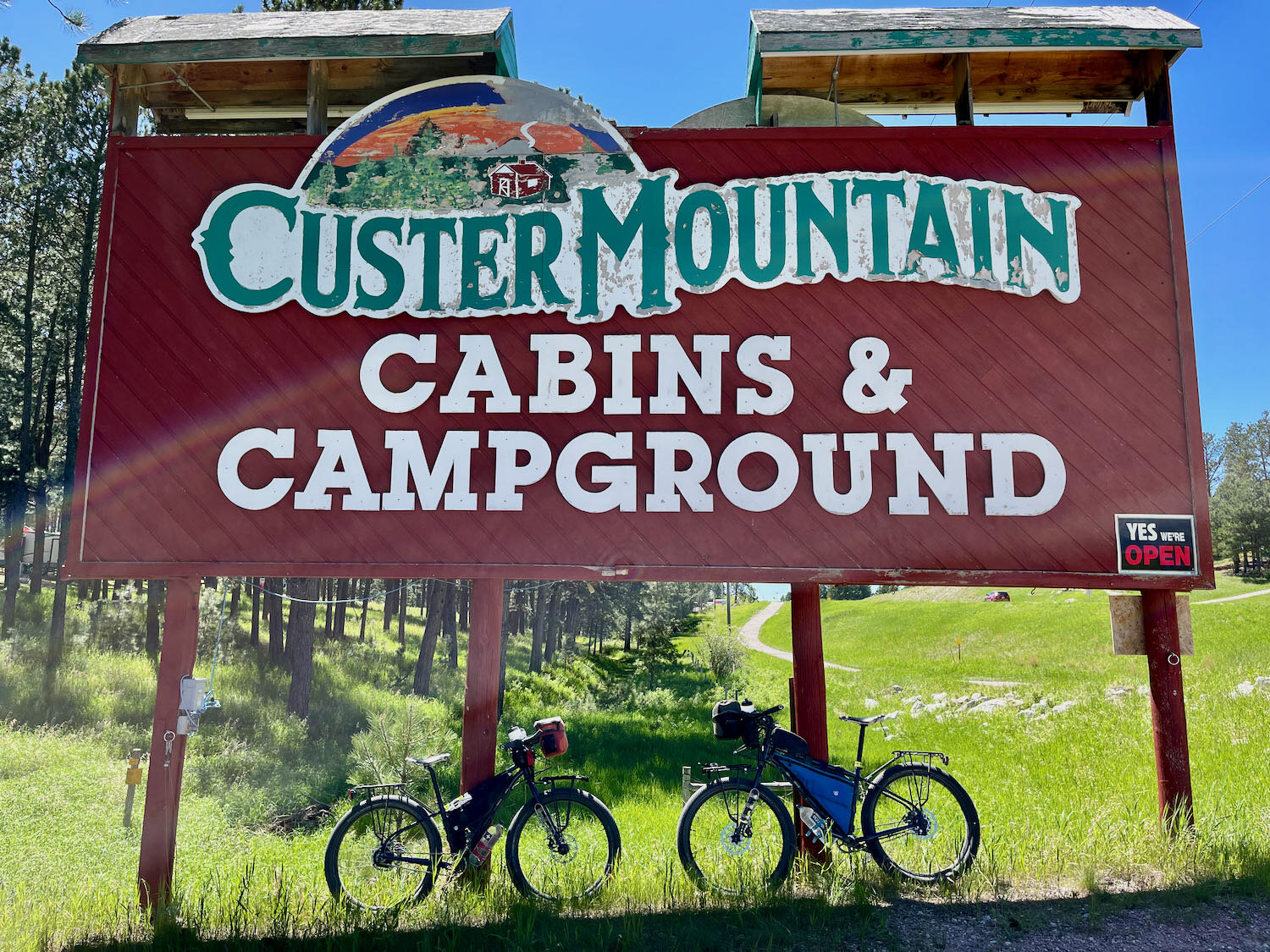
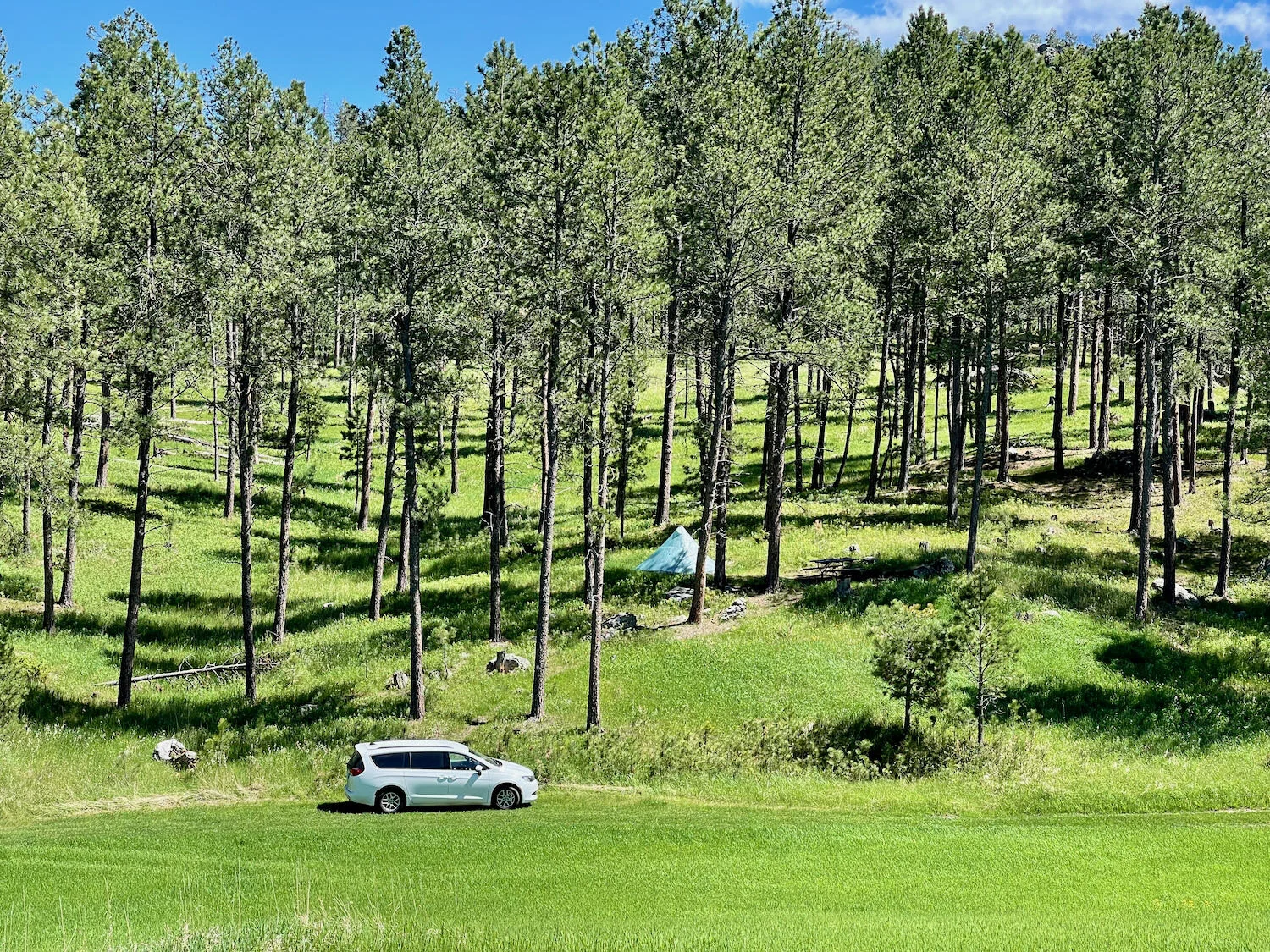
Our base camp was the Custer Mountain Cabins and Campground, conveniently situated near the Mickelson Trail and a couple of other sights we hoped to visit. We were really happy with the campground, which had some tent sites perched on the side of a big hill far from the RVs and cabins. With plenty of space between the sites as well, we enjoyed three very peaceful nights. If you think about staying here, though, you should note that many of the tent sites are not level. So either arrive early to pick out a level spot, or come prepared to sleep on a significant incline.
Peace and tranquility at The Taj. Custer, SD, USA. Copyright © 2019-2021 Pedals and Puffins.
On our first day in the Black Hills, we cycled northward along the Mickelson Trail from our campground. After grabbing lunch in the town of Hill City, SD, we then pedaled our way back to camp. Another member of the Rails-to-Trails Hall of Fame, the Mickelson Trail is also incredibly well-maintained with signage, rest stops, and towns along the way that are dripping with quirky, Western charm. And the scenery is fantastic.
The Mickelson Trail’s railroad heritage is evident in the trailhead signs. South Dakota, USA. Copyright © 2019-2021 Pedals and Puffins.
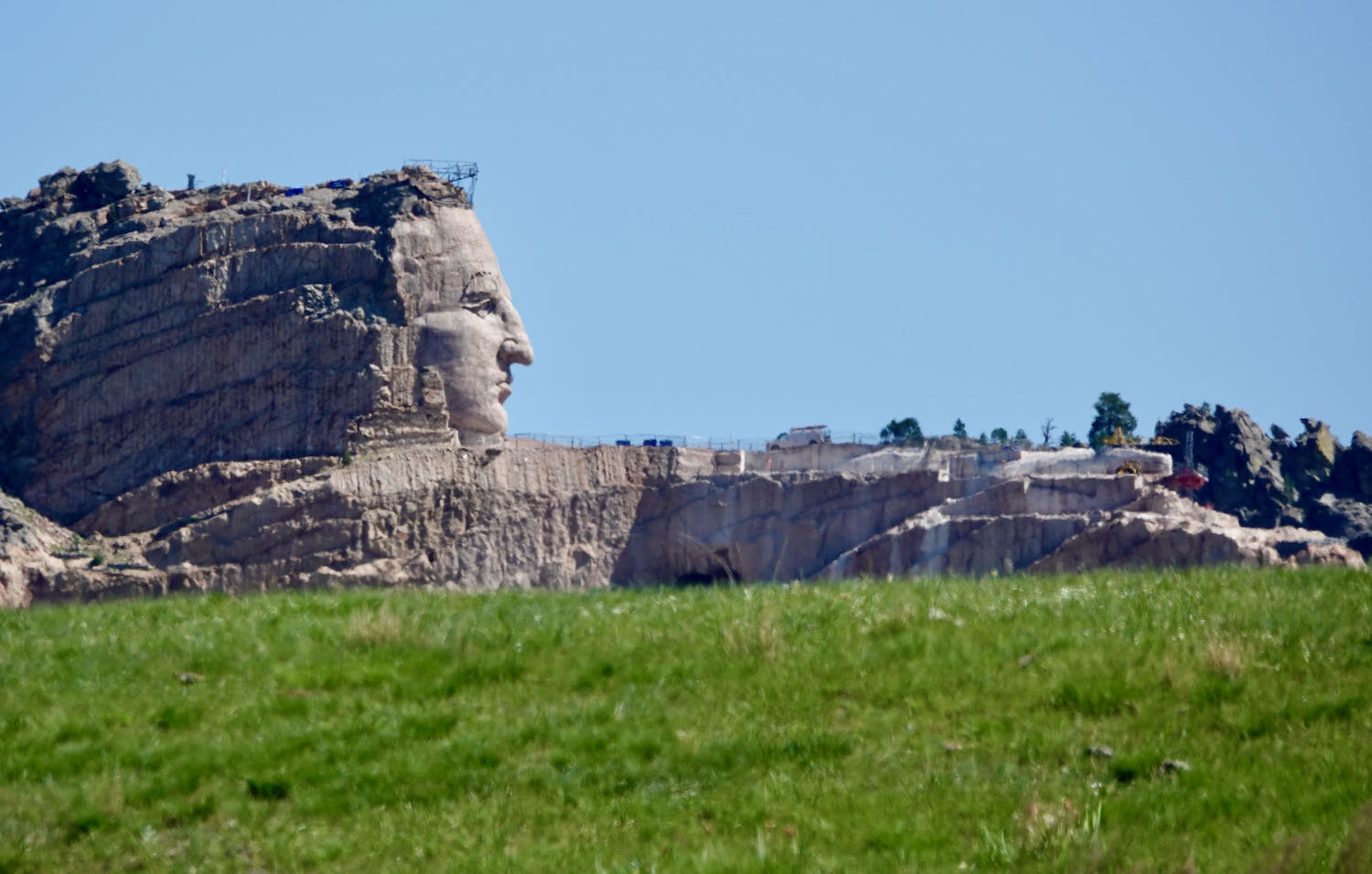
An advantage of riding a rail-trail in the Black Hills is that the railroad engineers made sure the gradients were gentle enough for steam locomotives to navigate. We cruised up and down long, gentle slopes that cut through granite outcrops and glided over a dozen small bridges to smooth out the terrain. All the while, we were dazzled by the nearby, rocky outcrops, shady ponderosa pine forests, and bucolic farms nestled in the valleys. We were also able to see the giant image of the Crazy Horse Memorial, with the famous chief’s face emerging from the rock, where the trail passes by the monument’s entrance.
Gliding past the big mountains on a gently-graded trail. The views along the Mickelson Trail are gorgeous. South Dakota, USA. Copyright © 2019-2021 Pedals and Puffins.
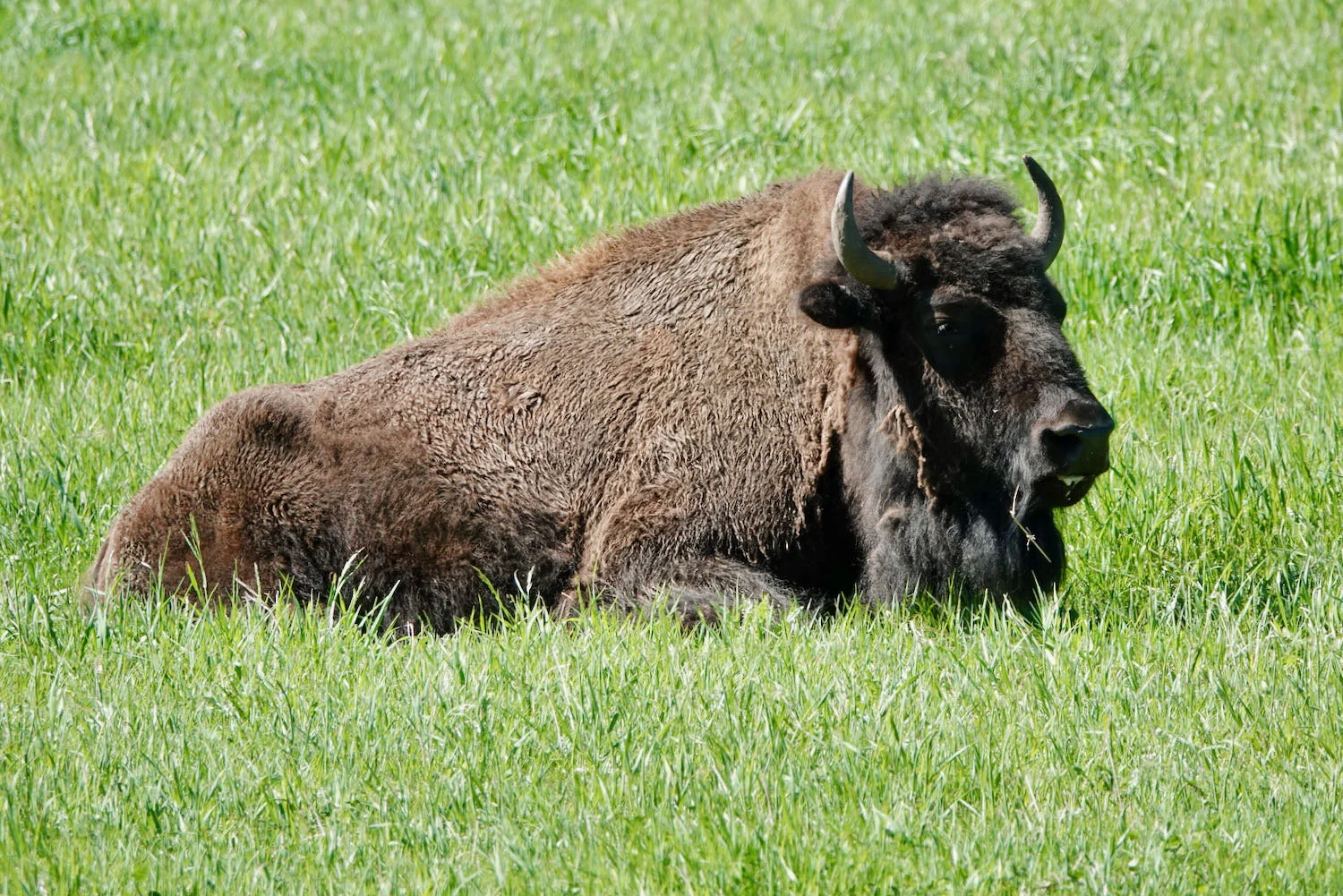
The second day we headed south on the Mickelson Trail to the tiny, and slightly eccentric town of Pringle, SD. The scenery was a bit less dramatic along this part of the route, but no less beautiful. We were fortunate to see a herd of bison not far from the trail as we pedaled south (they were gone by the time we headed back north, having disappeared into the hills).
Weather-worn farm buildings along the Mickelson Trail. South Dakota, USA. Copyright © 2019-2021 Pedals and Puffins.
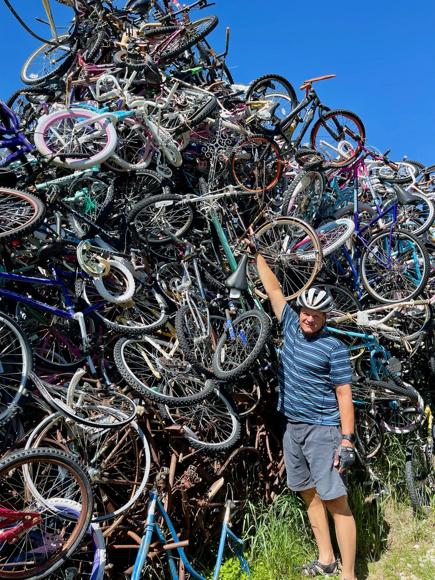
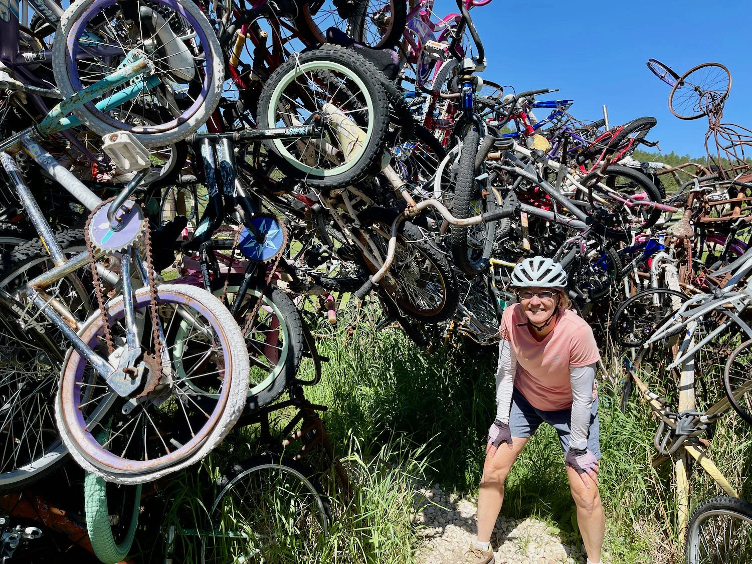
The first thing you see when you enter Pringle is an enigma known as the Bicycle Sculpture. It’s a loosely formed pile of old, decaying bicycles that includes an entrance archway and a circular corridor. You need to watch your head if you venture inside, to avoid bumping into a stray pedal or handlebar hanging down. In spite of, or perhaps because of its rough edges, the Bicycle Sculpture attracts quite a bit of attention. While we were checking it out, several other groups rolled up in cars to take photos and appreciate the audacity of the effort.
Someone had a unique vision when they created this “Bicycle Sculpture.” Pringle, SD, USA. Copyright © 2019-2021 Pedals and Puffins.
The only restaurant in Pringle appeared to be closed when we arrived. But the door was ajar, and with some persistent calling, “Hello, is anybody here?” PedalingGuy was able to rustle up a bartender to serve us some cold drinks - which were a real treat in the afternoon heat. From there we cycled back the way we had come.
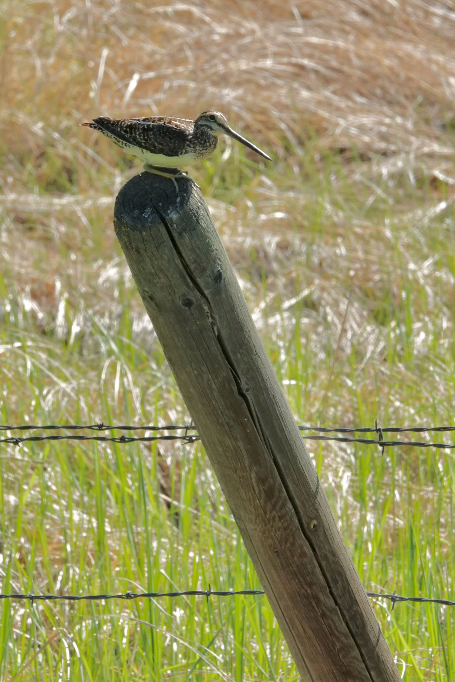
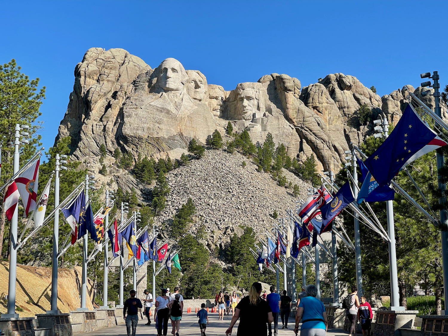
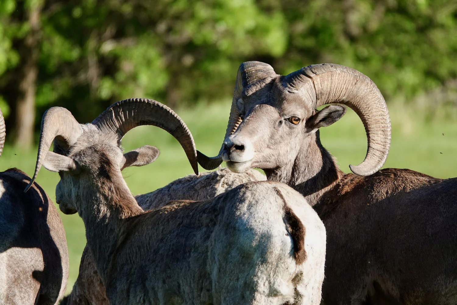
In addition to the Mickelson Trail, the Black Hills are home to all manner of tourist attractions. Foremost among them is Mount Rushmore National Memorial, the globally-recognizable, mountain-sized sculpture of four, famous US Presidents. Of course we had to pay it a visit, and marvel at the scale of the effort it took to create. We also spent two evenings driving along the Wildlife Loop in Custer State Park, where we saw several more herds of bison, as well as pronghorn antelopes, white tailed deer, mule deer and bighorn sheep - as well as a satisfying number of western prairie birds.
Going to the Sun Road, Glacier National Park (Montana)
Our final stop on the way to the Western Wildlands Route (WWR) was the most beloved road in one of America’s most popular national parks. We knew we’d be starting our WWR ride from a town nearby, so a visit to Glacier National Park was a no-brainer. Over the years we had heard stories about the beauty of the Going-to-the-Sun Road, which is considered a highlight of Adventure Cycling’s Great Parks North Route. At this time of year the high-elevation sections of the Going-to-the-Sun Road are still covered with snow. Before the road is fully plowed, the Park closes the eastbound section, just past the Avalanche Campground, to motorized vehicles. But hikers and cyclists can use the traffic-free road all the way up to where the road crews are working.
Based on what we had heard previously, we knew that it would take some planning to successfully make the ride, because of restrictions imposed on bicycles by the Park. Even so, we still underestimated what a challenge it would be to get our bicycle wheels onto the Going-to-the-Sun Road. The COVID-19 pandemic has caused a surge in visitation to America’s national parks, as folks seek ways to enjoy themselves outdoors. Glacier National Park’s visitor numbers have increased by nearly 20% over 2019, and reached record levels.
In response, the Park instituted a ticketed entry system for the Going-to-the-Sun Road starting in May 2021, with the express purpose of limiting the number of visitors using the road during peak hours. The only way to obtain a ticket is via an online website, and demand hugely outpaces availability. Most of the tickets were distributed 60 days in advance, before we knew for sure which days we’d be traveling. So we were consigned to trying to obtain one of only 145 tickets released each day, two days in advance of the effective ticket date. Without going into all of the gory details, suffice to say that our 8am attempts to secure a ticket failed miserably. The tickets were all gone within the first two minutes after they were made available online, and our hotel internet connections weren’t snappy enough to get us into the font of the queue.
Fortunately, we had a couple of fallback options. One is that the ticketed entry system is only required for cars and motorcycles. People on bicycles can enter the Park without a ticket. Alternatively, cars can enter the Park before 6am without a ticket.
We weren’t keen on parking outside of the national park and cycling in, because the entry road is very narrow and crowded with cars. Memories from when we had cycled the narrow roads in Yellowstone National Park in 2018, when endless streams of cars sped down the road narrowly avoiding collisions with us, filled us with dread. There’s no possibility of enjoying the scenery while you are worried about survival. So we decided to go early.
By waking up at 4:15am, we were able to enter the Park with our bikes in the minivan. Shortly after that, we parked near the road closure. Finally able to relax, we enjoyed breakfast in our van, while waiting for the sun to warm things up a bit. Then we unloaded our bicycles at 6:45am, and launched up the Going-to-the-Sun Road.
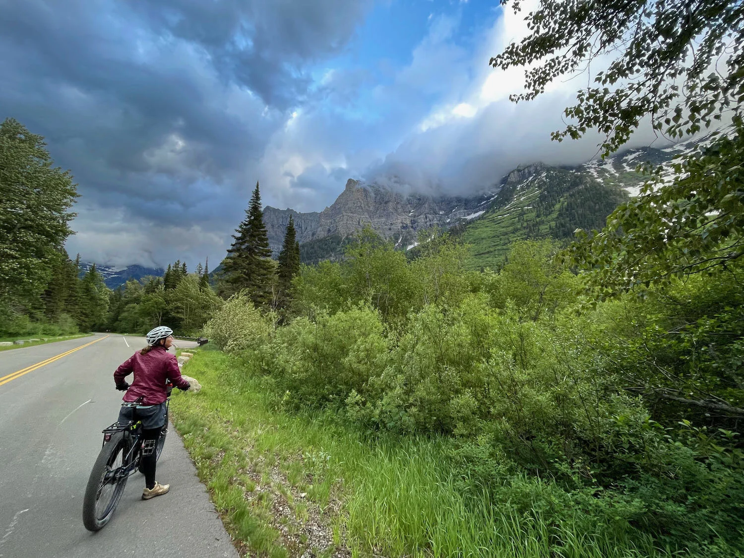
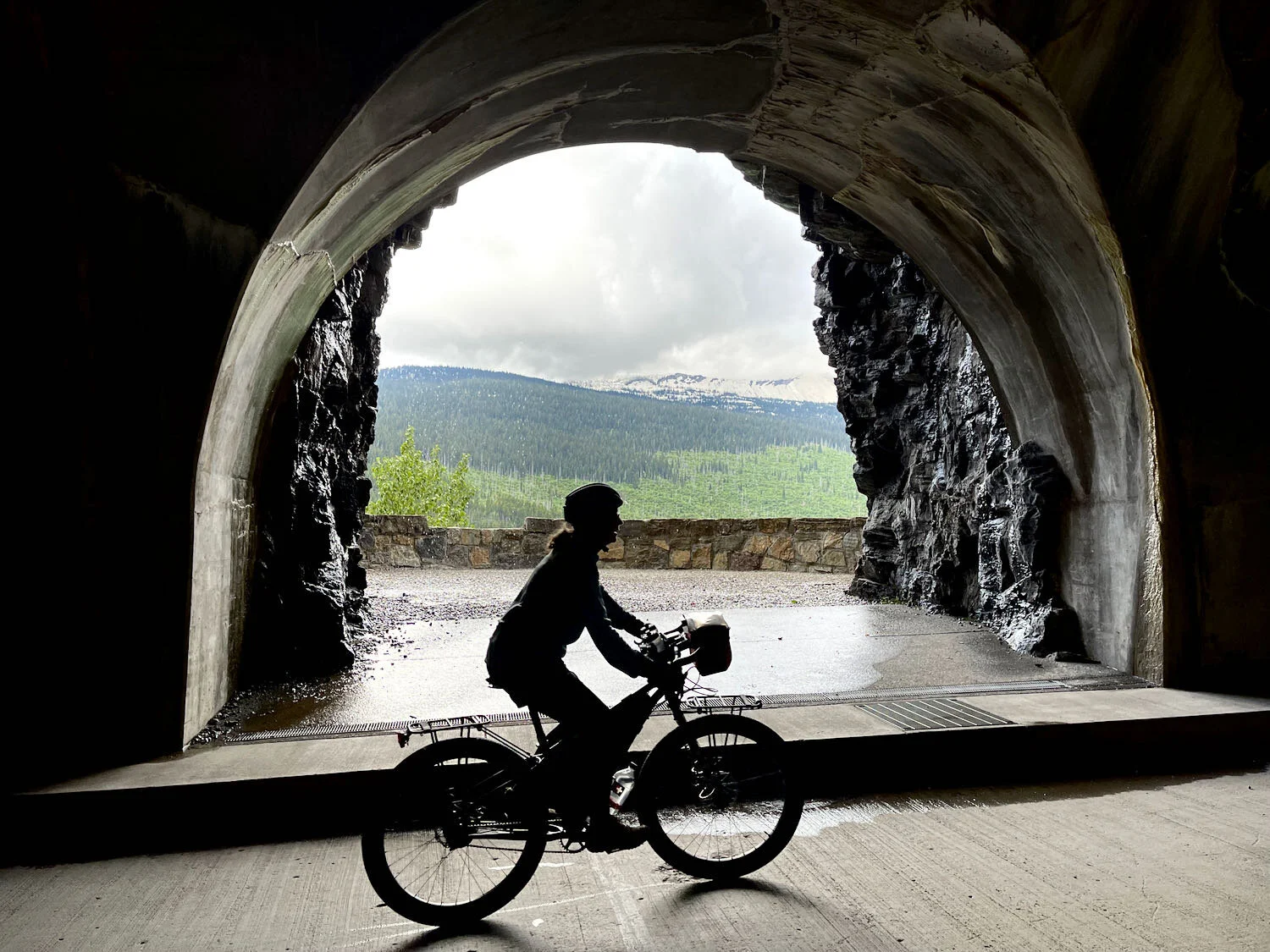
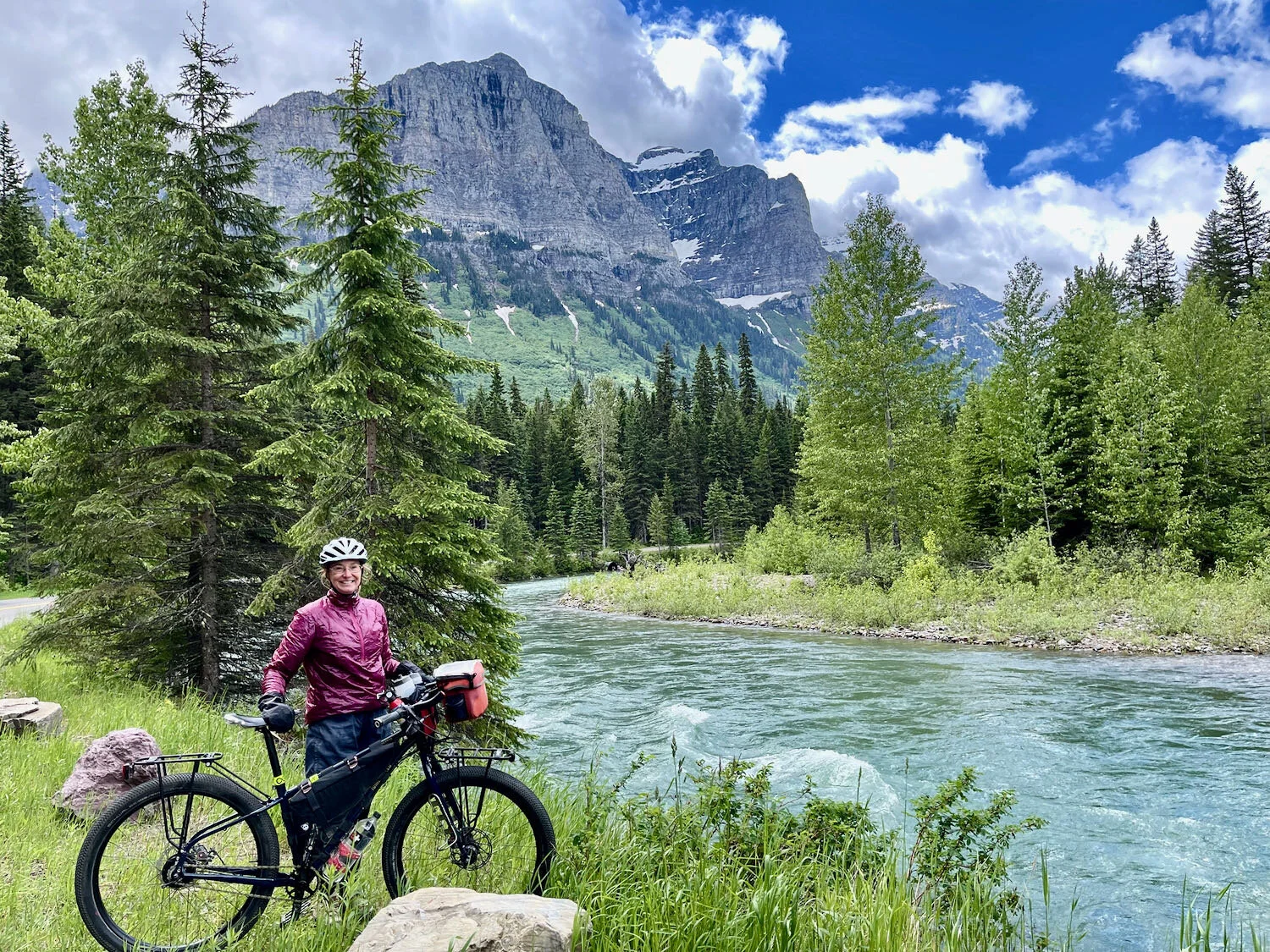
It was magnificent. Although there were a few other cyclists and hikers, the area beyond the road closure was not crowded at all. And sometimes we had the road completely to ourselves. For several miles the road hugs the banks of McDonald Creek, which was gushing and churning with milky-green, high water from the snowmelt. The crisp mountain air kept us comfortable as we pedaled up the side of the mountain. Rain the night before had left behind brooding clouds that shrouded the tops of the massive peaks lining the valley. Rich forests of cedar and hemlock gave way to stands of Douglas Fir in the higher elevations. In many places the forest was young, and dotted with the whitening skeletons of older trees that had been killed by wildfires that burned through the valley in recent years. But the new growth is lush as the forest renews itself.
Stupendous scenery is par for the course along the Going-to-the-Sun Road. Glacier National Park, Montana, USA. Copyright © 2019-2021 Pedals and Puffins.
Our hopes of cycling all the way to the top of Logan Pass, the highest point on the Going-to-the-Sun Road were cut short when we reached a road closure at the 8-mile mark, just after a big bend in the road known as The Loop. Crews were still clearing the road of debris further ahead, and the road would be closed until 3:30 in the afternoon.
The sign with the threat of prosecution for going past the barrier was more than enough to deter us from cycling any further. Going-to-the-Sun Road, Glacier National Park, Montana, USA. Copyright © 2019-2021 Pedals and Puffins.
So we parked our bikes, and enjoyed a 4 mile walk, out-and-back, on The Loop Trail. By this time we were high on a mountain slope overlooking the McDonald Creek and Mineral Creek valleys. The light green of the willows on the valley floor gradually faded into the deep green of pines and firs, topped by massive granite peaks still covered in snow. Everywhere we looked, the landscape was starkly majestic. Best of all, with the road closed to cars, the foot traffic on the trail was very light compared to the steady crowds that flood these trails later in the summer. We passed only about a dozen people, in small groups, on the whole walk.
Young conifers line The Loop Trail, growing among the whitening snags of older trees killed in a forest fire. Glacier National Park, Montana, USA. Copyright © 2019-2021 Pedals and Puffins.
The relative serenity seemed to suit the local wildlife. We caught sight of a snowshoe hare as he paused on the trail. But the most exciting wildlife sighting came when we stopped, part-way up the trail, to take off a layer as the day warmed up. Out of the corner of my eye, I saw something approaching through the dense underbrush. Suddenly it stopped and looked me straight in the eye. I recognized it instantly, and tried not to shout as I whispered hoarsely to PedalingGuy, “Look! To the left, I think it’s a marten!” Sure enough, an American Marten had stumbled into us. It appeared to be traveling along a fallen log, planning to cross the trail right where we stood. No more than 20 feet away, he stared at us trying to decide what to do now that two people had gotten in his way. PedalingGuy had just a few moments to snap a photo before the marten headed off to our left and crossed the trail below us, disappearing into the thicket. It’s very rare to see a marten, and we’d never encountered one before. We were thrilled.
A surprise meeting in the woods. American martens like this one occur in very low population densities, and are rarely encountered in the wild. Glacier National Park, Montana, USA. Copyright © 2019-2021 Pedals and Puffins.
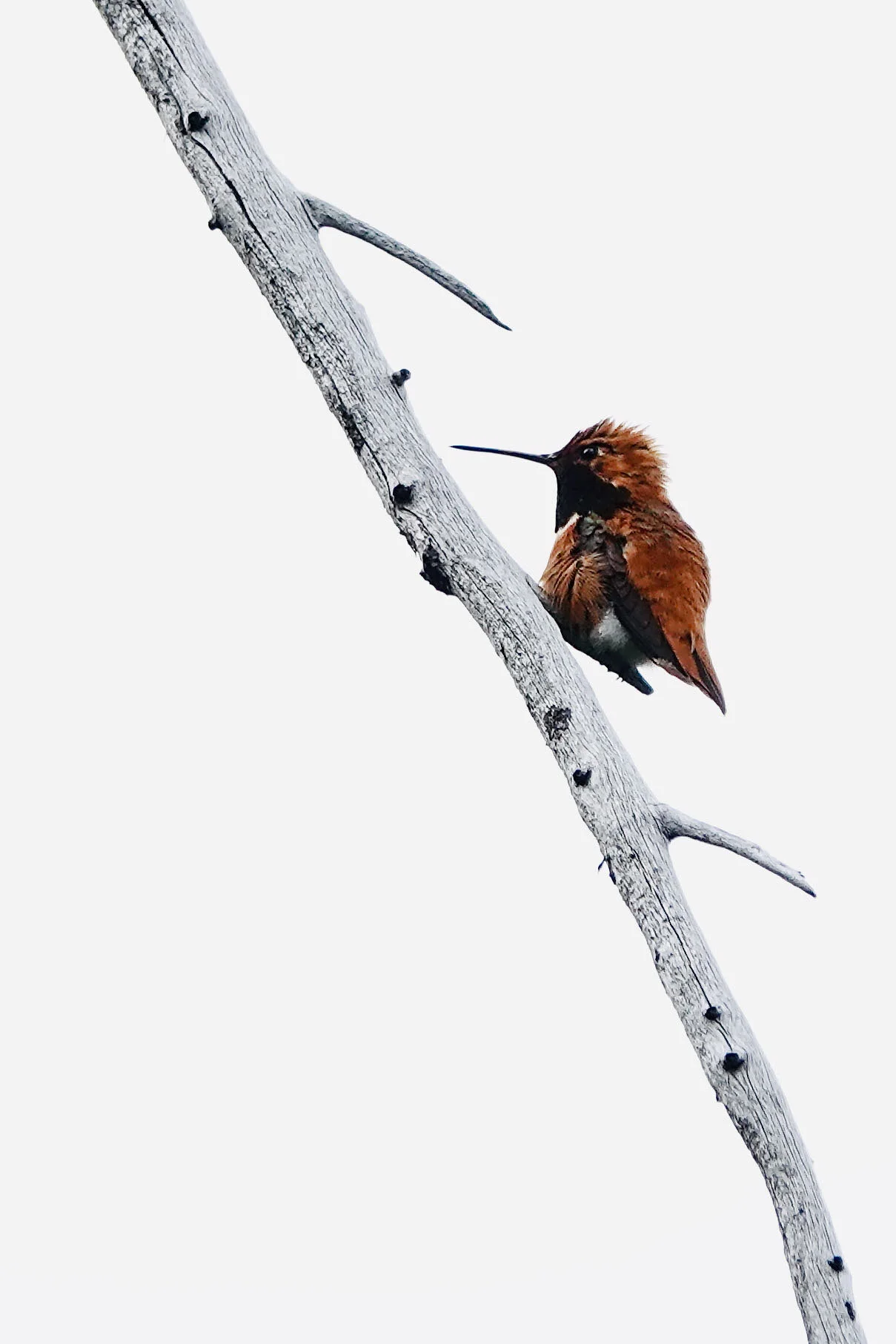
It turned out to be a great day for wildlife viewing. In addition to the bright colors of various alpine birds, we also saw numerous mule deer, and a black bear hustled across the road while we were strolling around the Avalanche Picnic Area after returning to our car. All in all, it was a wonderful day.
A Brief Note About Tire Trouble
Our travels so far have not been without completely without trouble. One of the lingering dramas had to do with PedalingGuy’s back tire.
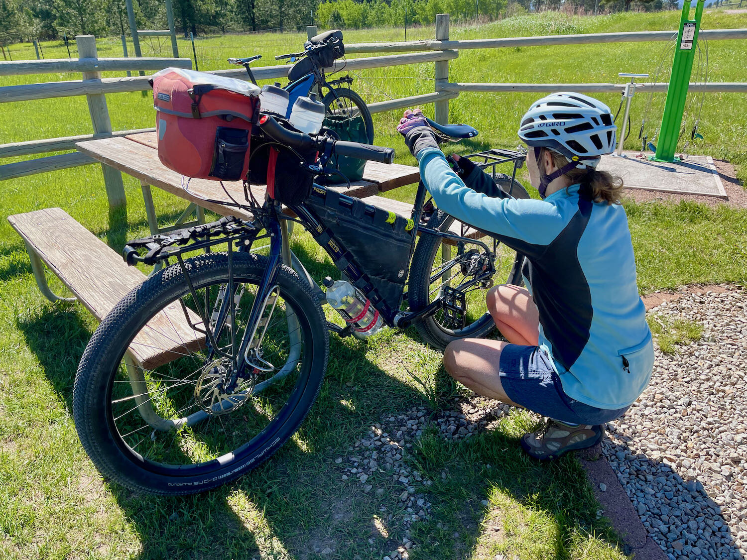
We are using tubeless tires for the first time, and still getting a handle on how to work with them. Unfortunately, less than a week before our departure, PedalingGuy ran over a sharp piece of roadside debris. The whooshing sound of suddenly-released, pressurized air, and splatter of sealant being forced out onto the road, signified a 0.25 inch slash in his back tire. Being novices at patching tubeless tires, we inserted one Dynaplug, but that clearly wasn’t sufficient to fix the problem. We added a second Dynaplug, and it seemed like the sealant might have finally closed the hole. While the bicycle wasn’t being ridden, it looked as though the tire was holding air.
But when we had finished our 2-day ride on the Katy Trail, PedalingGuy’s back tire felt soft. We checked the pressure, and it had lost 20 psi over two days. What a huge bummer that was. We thought about trying to insert another Dynaplug, but decided that we just didn’t want to start a major, backcountry trip with a compromised tire. So we placed an order with Schwalbe for a new G-One Allround tire, and had it delivered to the hotel where we planned to stay in Kalispell, Montana. Then we crossed our fingers and hoped the tire would arrive in time.
On the bright side, PedalingGuy was able to continue using the leaky tire for the rides on the Mickelson Trail. We just had to pump the tire up before each ride. Even so, the fact that the tire was not performing well influenced our decision not to make an overnight trip out on the Mickelson Trail - instead we did two, separate, day trips. That way we could return to our base campsite and our van each night, so we wouldn’t get temporarily stranded in South Dakota.
Arriving in Kalispell, we were incredibly happy and relieved to find the new tire had arrived, as well as a new pack of tire sealant that we had ordered online. So, our first evening in town was spent removing and replacing PedalingGuy’s back tire. We also took the opportunity to top up the sealant in our other three tires. Many thanks to the folks at REI in Kalispell for letting us use their air compressor to seat-the-bead on the new tubeless tire. We wouldn’t have been able to create enough pressure for the mounting process by using only our little, portable hand pump.
Ninety-eight, ninety-nine, 100! Our little hand pump did the trick for topping up the sealant in three of our tires. But we had to borrow a compressor from REI to seat the bead on PedalingGuy’s new back tire. Kalispell, Montana, USA. Copyright © 2019-2021 Pedals and Puffins.
Looking back on the experience, we feel like we would probably do a better job of patching a punctured tubeless tire in the future. For a gash the size of the one that PedalingGuy got in his back tire, we now know that at least three plugs would be needed. But even if 3 or 4 plugs were added, there was still no guarantee that the large hole would have been plugged, so we think we made the right decision to replace the tire. Given how remote we will be for much of our trip on the Western WIldlands Route, replacing a tire after we start would be much more difficult and time consuming.


